

Even more impressive, a while later he sat down unprompted, and produced this:

He is also working hard on learning to dress himself. Here he is, putting on both socks!


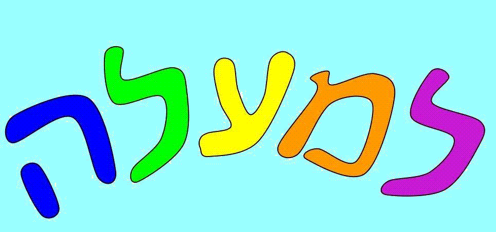
Lemalah -- JUMP! Preschool -- is a home-based Montessori-inspired Hebrew language immersion preschool playgroup in Brookline, MA.
Almost unbearably adorable:
ReplyDeleteIn the evening, I asked about what M did during the day, and I heard about his adventures in cartography. He asked me to sketch a map of Israel, and I did. But he corrected me -- first, that I'd left out the little jog for Haifa, next that Haifa should have little boats next to it, and then that Tel Aviv should have a row of three rectangles in the water. (That's the way he learned it! -- Haifa has boats, Tel Aviv has skyscrapers. Later we'll have to teach him that the skyscrapers don't actually float in the Mediterranean Sea.)